|
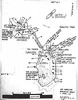
Photo #: NH 97748 Tanambogo, Gavutu and Gaomi Islands, near Tulagi Chart prepared for use during the invasion of the Guadalcanal and Tulagi area. It is dated 21 July 1942, about two weeks before the landings. See Photo # NH 97748 (complete caption) for a key to the numbered features. The original photograph came from Rear Admiral Samuel Eliot Morison's World War II history project working files. U.S. Naval Historical Center Photograph. Online Image: 104KB; 580 x 765 pixels |
 |
Click on the small photograph to prompt a larger view of the same image.
If you want higher resolution reproductions than this digital image, see: "How to Obtain Photographic Reproductions."
14 November 2001