- General Sources
- Lighthouses in Alberta
- Photos by various photographers available from Wikimedia.
- World of Lighthouses - Canadian Inland Waterways
- Photos by various photographers available from Lightphotos.net.
The nation of Canada was created by the British North America Act in 1867 with Ontario, Québec, New Brunswick, and Nova Scotia as the four original provinces. Today Canada is a federation of ten provinces and three large federal territories in the far north of the country.
Early in the 19th Century most of modern Alberta was claimed by Britain and controlled by fur trading companies, The Hudson's Bay Company and the North West Company. The southern part of the future province, in the Missouri River drainage, was claimed by the U.S. as part of the Louisiana Purchase of 1803 until the treaty of 1818 established the international border at latitude 49° North. In 1870 the fur companies ceded their holdings to the new Canadian government and the Northwest Territories was created to include all of the region. In 1882 administrations were established for two districts, the Alberta District in the south and the Athabaska District in the center and north. The Province of Alberta was formed in 1905 with its present boundaries. Alberta borders Saskatchewan to the east, British Columbia to the west, Northwest Territories to the north, and the U.S. state of Montana to the south.
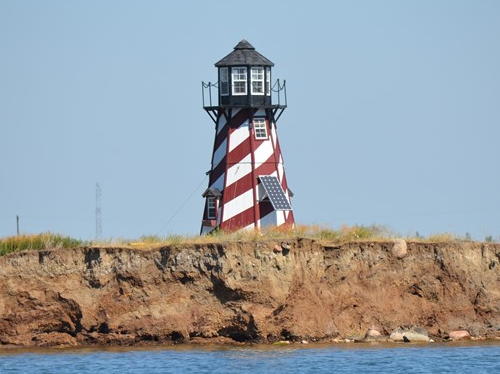
Alberta is landlocked and has no officially maintained lighthouses. The province does have many lakes and reservoirs. Even though they are unofficial, the Directory lists lighthouses if they stand beside navigable water, have some plausible navigational value, and are active during the local boating season.

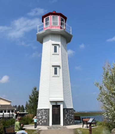
Lake Newell Light, Lake Newell
photo posted by TravelAlberta.com
