The United States of America is a federal union of 50 states and a capital district. The west coast state of Washington was originally part of the Oregon Country, the area west of the Continental Divide between latitudes 42° and 54°40' North. In the London Convention of 1818 the U.S. and Britain agreed to joint occupation of this territory. The Oregon Treaty of 1846 confirmed British occupation of Vancouver Island and the rest of what became British Columbia; it also set the boundary between the U.S. and British territory at latitude 49° between the Rocky Mountains and the Strait of Georgia. This treaty left the status of the San Juan Islands in doubt, leading to an 1859 military standoff known in Washington as the Pig War although no shots were fired. The dispute continued until 1872 when arbitration by Germany's Kaiser Wilhelm I established the international boundary in Haro Strait, placing the San Juan Islands in the United States. In 1853 Washington became an organized territory separate from Oregon and in 1889 it was admitted to the union as the 42nd state.
An important feature of Washington's geography is Puget Sound, a network of fjords, strewn with islands, penetrating 100 miles (160 km) southward into the state and leading to the harbors of Seattle and Tacoma. Puget Sound is connected through Admiralty Inlet to the Strait of Juan de Fuca, which separates northwestern Washington from Canada's Vancouver Island. In recent years geographers have defined the Salish Sea to include Puget Sound and the Straits of Georgia and Juan de Fuca.
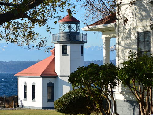
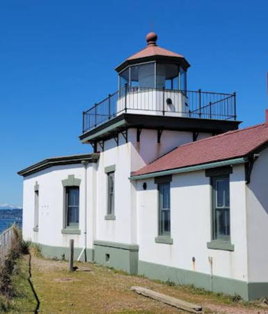
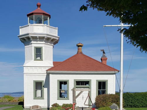
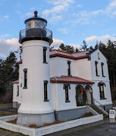
This page describes lighthouses of Puget Sound and the San Juan Islands; the Western Washington page includes lighthouses of the Columbia River, the Pacific coast, and the Strait of Juan de Fuca.
Preservation efforts in Washington have been strong for many years and the United States Lighthouse Society has its headquarters at the Point No Point Lighthouse in Hansville.
Navigational aids in the United States are operated by the U.S. Coast Guard, but ownership (and sometimes operation) of historic lighthouses has been transferred to local authorities and preservation organizations in many cases. Aids to navigation in Puget Sound and the San Juan Islands are maintained by Coast Guard District 13 and its Aids to Navigation Team based in Seattle.
ARLHS numbers are from the ARLHS World List of Lights. Admiralty numbers are from Volume G of the Admiralty List of Lights & Fog Signals. For a few lights close to the Canadian border CCG numbers are from the Pacific Coast volume of the List of Lights, Buoys, and Fog Signals of Fisheries and Oceans Canada and U.S. NGA numbers are from Publication 111. USCG numbers are from volume 6 of the U.S. Coast Guard List of Lights.
- General Sources
- Washington Lighthouses
- From Kraig Anderson of LighthouseFriends.com, photos and accounts of the state's lighthouses.
- Online List of Lights - Washington - North Coast and Canada Boundary
- Photos by various photographers posted by Alexander Trabas; many of the Washington photos are by Michael Boucher.
- Washington Lighthouses
- An informative web site supporting the restoration efforts at all of the state's lighthouses.
- Lighthouses in Washington (state)
- Photos by various photographers available from Wikimedia.
- World of Lighthouses - Northwest Coast of U.S.
- Photos by various photographers available from Lightphotos.net.
- Washington, United States Lighthouses
- Aerial photos posted by Marinas.com.
- Leuchttürme USA auf historischen Postkarten
- Historic postcard images posted by Klaus Huelse.
- U.S. Coast Guard Navigation Center: Light Lists
- The USCG Light List can be downloaded in pdf format.
- NOAA Nautical Charts
- Official nautical charts for the coast can be viewed online.
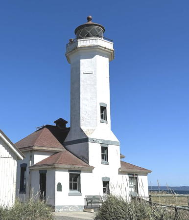
Point Wilson Light, Port Townsend, June 2023
Google Maps photo by Victor Wang
