The Republic of Zambia is a landlocked nation in South Central Africa, located southwest of Tanzania and south of the Democratic Republic of the Congo. In 1899 and 1900 Britain established two protectorates covering the present territory of Zambia, and in 1911 the two were combined in the single protectorate of Northern Rhodesia. In 1953 Northern Rhodesia was merged into a federation with Southern Rhodesia (now Zimbabwe) to the south and Nyasaland (now Malawi) to the east. In 1964 the federation was dissolved and Northern Rhodesia became independent as Zambia.
In the northeast of the country Zambia has a short coastline on the southern end of Lake Tanganyika. The largest of Africa's rift valley lakes, Lake Tanganyika is 676 km (420 mi) long in a north–south direction and about 50 km (30 mi) in width. Zambia shares the lake with Tanzania, Burundi, and the Democratic Republic of the Congo. There is commercial shipping on the lake and ferries connect its ports. The town of Mpulungu faces the extreme southern end of the lake and includes Zambia's commercial and ferry port.
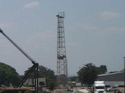
Lighthouse

Mpulungu Light, Mpulungu, September 2019
Google Maps photo by Chamuka Petros Phiri