
Len & Bev's new block of ground - Part 2
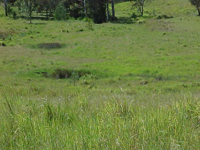
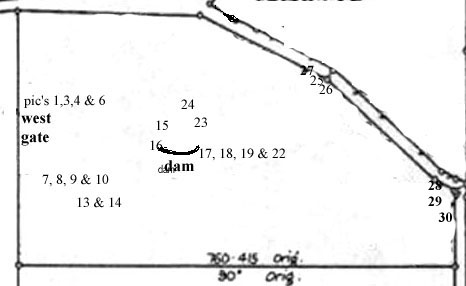
Left: (13) Close up of the wetland showing the first 3 water holes that
comprise the start of 1 creek which flows to the south - south/west which
is to the right of shot.
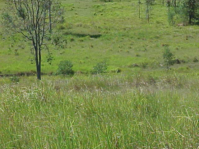
Right: (14) The next shot showing the water holes running horizontal
from the left of shot through the center of shot to the right. The holes
show as the darker patches.
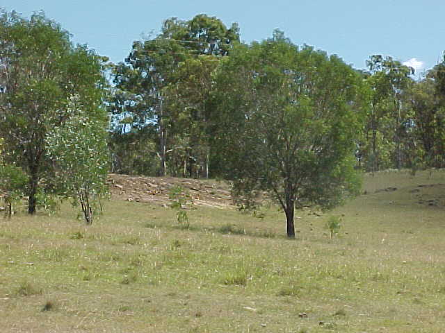
Left: (15) The catchment for the dam looking up to the north and the
land fill area. the north boundary is where that dense bush is, the road is
beyond that.
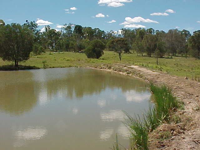
Right: (16) A closer shot of the dam looking to the east boundary. The funny
white blotches beyond that thick little tree in mid shot are cows.
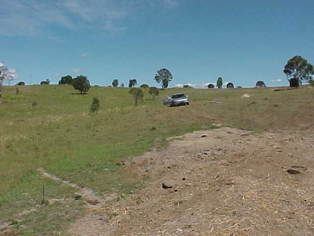
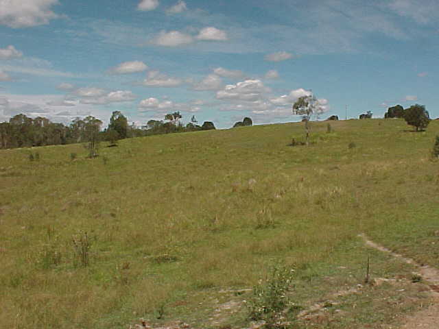
Left: (17) Looking from the dam wall to the western boundary gate. Just
beyond the horizon is the western fence line.
Right: (18) Looking south/west from the dam wall toward the house site, the
house site will be on that ridge just to the left of centre picture. The
dense trees over the back of shot represent the southern boundary.
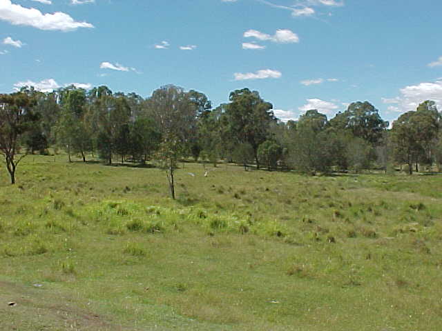
Left: (19) Looking south across the wetland from the dam to the wooded
area and the second creek. The southern boundary is not visible from here.
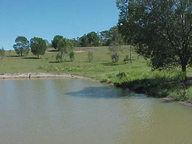
Right: (22) The view north-north/west up the dam catchment to the solid fill
area. The dense trees at the top represent the northern boundary.
More pictures...
Frequently Asked Questions |
Reference Desk |
Articles |
Upload/View Documents & Pictures |
Profiles |
Book List & Reviews |
Plant Profiles |
Animal Profiles |
Permaculture Links |
Other Useful Links |


