The Republic of India (Bhārat in Hindi) is the seventh largest country and most populous country in the world. Before 1947 it was a patchwork of regions governed as British colonies and semi-independent princely states under British supervision. In 1947 this British Raj was partitioned into the independent states of India and Pakistan. Several small French and Portuguese colonies embedded in the territory of India were absorbed in 1950 and 1961, respectively.
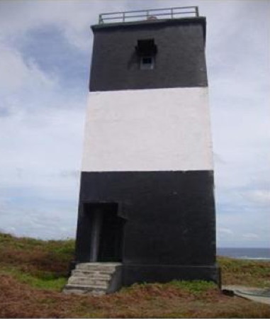
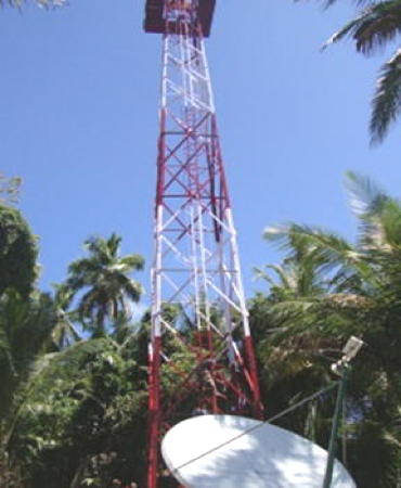
India is a federal union with 28 states and eight union territories. This page is for lighthouses of the union territory of the Andaman and Nicobar Islands.
The Andaman Islands and Nicobar Islands are located in the northeastern corner of the Indian Ocean. Together they form an arc between Myanmar (Burma) and Sumatra, separating the Bay of Bengal on the west from the Andaman Sea on the east. There are about 570 islands in all, but only 38 are large enough to be inhabited. The Andamans are in the northern part of the arc and the Nicobars are to the south, the two groups being separated by a broad passage called the Ten Degree Channel.
Following failed attempts at colonization of the Nicobar Islands by Denmark both island chains were colonized by Britain during the mid 1800s and were administered as part of the British Raj. They were occupied by Japan during World War II (1942-45). When India became independent in 1947 the islands were organized as a union territory. In 1974 the Andaman Islands and the Nicobar Islands became separate districts within the territory and in 2006 the Andaman Islands district was divided into two districts.
Hindi and English are official languages in India, with English serving as a lingua franca for the entire nation. The Indian Constitution recognizes another 21 languages, called scheduled languages, and each of the coastal states has its own scheduled language in common use. Many of these languages are heard in the Andaman and Nicobar Islands along with several indigenous languages.
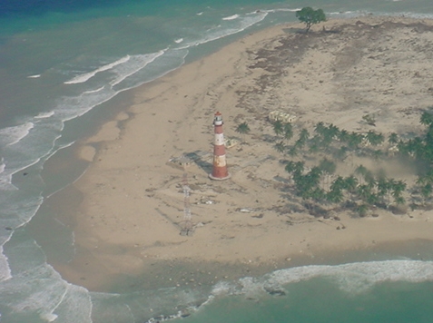
The great earthquake and tsunami of 26 December 2004 caused heavy damage throughout the territory. In some areas, especially in the south, the damage was catastrophic, with heavy loss of life.
Aids to navigation in India are administered by the Directorate General of Lighthouses and Lightships (DGLL), an agency of the Ministry of Shipping. Lights on this page are maintained by the DGLL district office at Port Blair, the territorial capital.
ARLHS numbers are from the ARLHS World List of Lights. Admiralty numbers are from volume F of the Admiralty List of Lights & Fog Signals. U.S. NGA List numbers are from Publication 112.
- General Sources
Port Blair District Aids to Navigation - Lighthouse information from DGLL including photos for most of the lighthouses.
- World of Lighthouses - India
- Photos by various photographers available from Lightphotos.net.
- Online List of Lights - India - Andaman Islands and Nicobar Islands
- Photos by various photographers posted by Alexander Trabas.
- Navionics Charts
- Navigation chart for the islands.

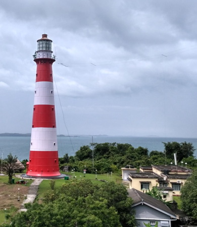
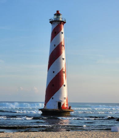
Little Andaman Island Light, Little Andaman, May 2023
Google Maps photo by Monimohan Das
