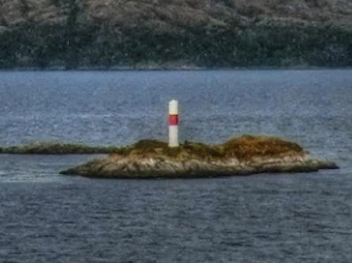
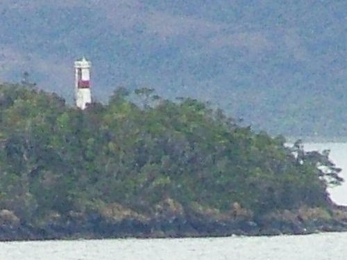
On the southwest coast of South America the Republic of Chile has one of the world's longest and most dangerous coastlines, more than 4000 km (2500 mi) long with at least 5000 rocky islands. To guard this coast the Chilean Navy has operated for many years one of the world's most active and most distinguished lighthouse services.
Chile is divided into 16 regions (regiones) and the regions are subdivided into a total of 56 provinces (provincias). This page covers lighthouse of the southernmost region, known officially as Magallanes y de la Antártica Chilena. The Magallanes region includes the Chilean portion of Tierra del Fuego and the southern half of Chilean Patagonia as well as the wedge of Antarctica claimed by Chile. All national claims in Antarctica are suspended indefinitely by the Antarctic Treaty System. (Several Chilean lights in Antarctica are listed on the Antarctica page.)
Tierra del Fuego, the archipelago south of the Strait of Magellan, was disputed between Chile and Argentina until a treaty in 1881 gave Chile control of the western half of the territory and all of the Strait. The Strait did not become an important shipping route until around that time, as steam replaced sail power for ships between the Atlantic and Pacific. A continued dispute between Chile and Argentina over the ownership of several smaller islands near Cape Horn was not resolved until 1985, when the two countries accepted a mediation decision by Pope John Paul II.
Many of the historic lighthouses of southern Chile are the work of George Slight (1859-1934), a Scottish engineer who moved to Chile in the 1890s and eventually became the head of the Chilean Maritime Signaling Service. In all he designed and supervised the construction of more than 70 lighthouses.
The Spanish word for a lighthouse is faro. In Spain, the word faro is usually applied only to the larger coastal lights, but in South America it is often used for all fixed lights, including towers too small to be considered lighthouses. In Spanish isla is an island, cabo is a cape, punta is a promontory or point of land, péñon is a rock, arrecife is a reef, bahía is a bay, ría is an estuary or inlet, estrecho is a strait, río is a river, and puerto is a port or harbor. Also, the Spanish word canal means a natural channel, not an artificial canal.
Chile's lighthouse agency, the Servicio de Señalización Marítima, is a division within the ministry known as Directemar (Dirección General del Territorio Marítimo y Marina Mercante).

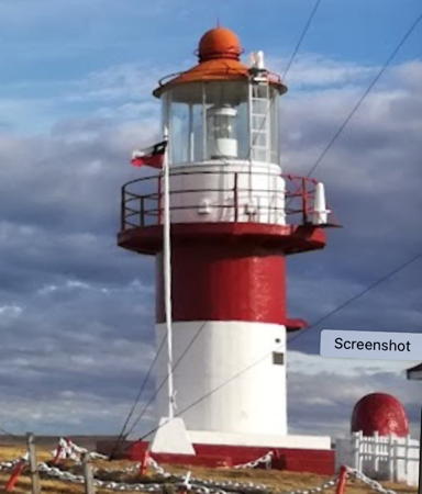
Punta Delgada Light, Strait of Magellan, February 2024
Google Maps photo by Bert Doesburg


