The Co‑operative Republic of Guyana is an independent nation located on the north coast of South America just east of Venezuela. Colonized initially by the Dutch, it was conquered by the British during the Napoleonic Wars and became the colony of British Guiana in 1831. The country gained its independence in 1966.
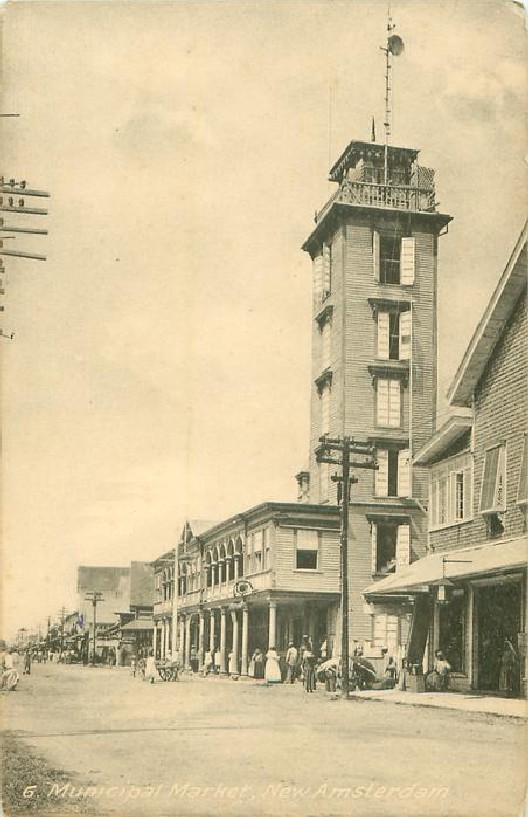
The coastline of Guyana is 459 km (285 mi) long, oriented northwest to southeast; it has mostly a low, sandy or marshy shoreline. Georgetown, the national capital and major port, is also the site of the country's one traditional lighthouse. New Amsterdam is the second international port. English is the official language, although a regional creole language is spoken.
Venezuela has a long-standing claim to a large part of the territory of Guyana, a dispute going back to colonial times. An arbitration in 1899 was largely in favor of Britain, but Venezuela now rejects that settlement on the grounds the Britain unfairly influenced the arbitrators. In 2023 the International Court of Justice agreed to take up the case, following a request from the United Nations, but no ruling has been made yet.
Aids to navigation in Guyana are presumably operated by the Maritime Administration Department within the Ministry of Public Works.
ARLHS numbers are from the ARLHS World List of Lights. Admiralty numbers are from volume J of the Admiralty List of Lights & Fog Signals. U.S. NGA numbers are from Publication 110.
- General Sources
- Online List of Lights - Guyana
- Photos by various photographers posted by Alexander Trabas; the Guyana photos are by Capt. Peter Mosselberger ("Capt. Peter").
- Lighthouses in Guyana
- Photos by various photographers available from Wikimedia.
- World of Lighthouses - Guyana
- Photos by various photographers available from Lightphotos.net.
- Leuchttürme Südamerikas auf historischen Postkarten
- Historic postcard views posted by Klaus Huelse.
- OpenSeaMap.org
- Navigational chart for Georgetown harbor.
- Google Maps
- Satellite view of coastal Guyana. The dashed line on this map is the border claimed by Venezuela.
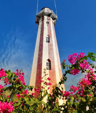
Georgetown Light, Georgetown, January 2021
Instagram photo by Tourism Guyana