The independent Commonwealth of Australia occupies the entire Australian continent, the island of Tasmania, and numerous smaller islands. British exploration and settling of the continent began late in the 1700s, with the first colony established in the Sydney area in 1788. By the 1850s there were six British colonies, including New South Wales and Queensland in the east, Victoria and South Australia in the south, Western Australia in the west, and Tasmania off the south coast. The Commonwealth was formed on New Years Day 1901 as a federation of the six colonies. Australia is both the smallest continent and the sixth-largest country in the world, with a population of about 26 million.
Australia's Northern Territory occupies the north central part of the country with a tropical coastline facing the Timor Sea to the northwest, the Arafura Sea to the north, and the Gulf of Carpentaria to the east. Except for the port and naval base of Darwin the coast is thinly populated and difficult to reach.
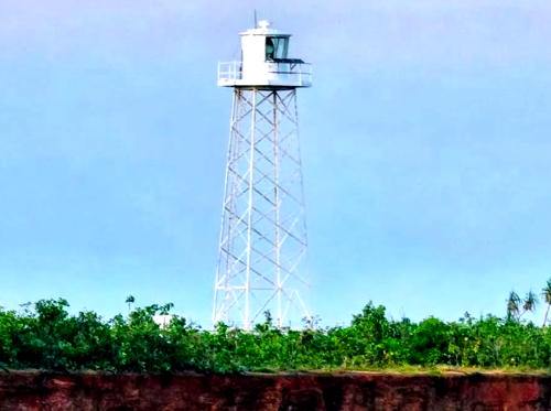
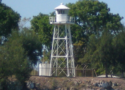
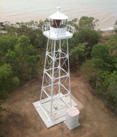
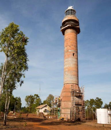
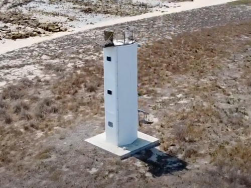
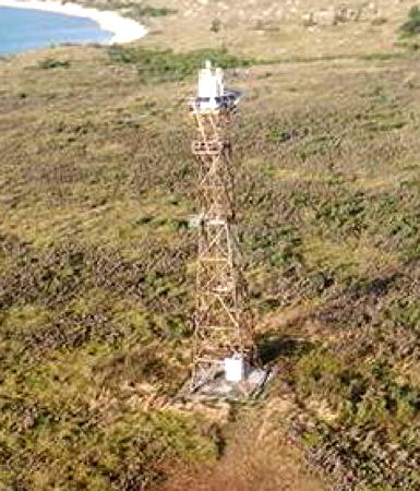
The territory has five more or less traditional lighthouses, all associated with the approaches to Darwin. Unfortunately, all the lighthouses are either closed to the public or difficult to reach, so they are not very well known.
The lighthouses are managed by the Australian Maritime Safety Authority (AMSA) or by the Darwin Port Corporation.
ARLHS numbers are from the ARLHS World List of Lights. Admiralty numbers are from volume Q of the Admiralty List of Lights & Fog Signals. U.S. NGA numbers are from Publication 111.
- General Sources
Lighthouses of Northern Territory - The section of the Lighthouses of Australia site devoted to Northern Territory lights.
- AMSA Heritage Lighthouses
- An interactive map links to information and photos for the major AMSA lighthouses.
- Lighthouses and Lightvessels in Australia - Northern Territory
- Index to Wikipedia articles; many include photos.
- World of Lighthouses - Northern Territory
- Photos by various photographers available from Lightphotos.net.
- Online List of Lights - Australia - Timor Sea and Arafura Sea
- Photos by various photographers posted by Alexander Trabas. Photos for the Darwin area are by Jim Smith.
- Leuchttürme Australiens und Ozeaniens auf historischen Postkarten
- Historic postcard images posted by Klaus Huelse.
- GPSNauticalCharts
- Navigation chart for northern Australia.
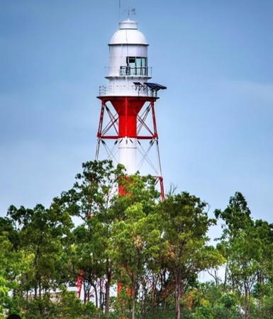
Point Charles Light, Darwin, 2021
Instagram
photo copyright ABOUT North
