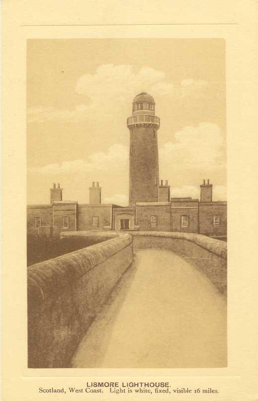
The United Kingdom (officially the United Kingdom of Great Britain and Northern Ireland) includes England, Scotland, Wales, and Northern Ireland. Occupying the northern third of the island of Great Britain, the kingdom of Scotland has shared its monarch with England since 1603 and has been part of the United Kingdom since 1707. The coastline of the country is deeply cut by inlets, and there are more than 790 islands. The country has a long and distingushed maritime history; many of the most famous British captains and navigators have been Scots.
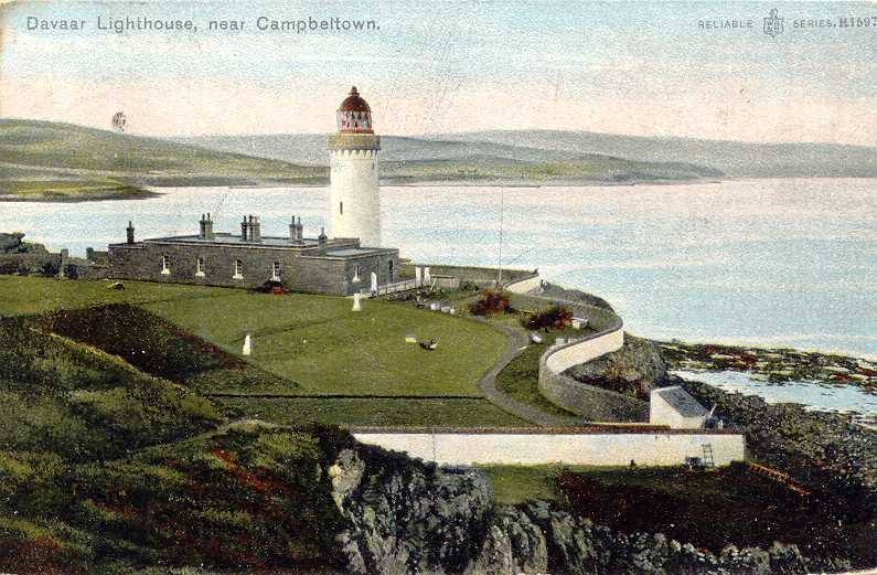
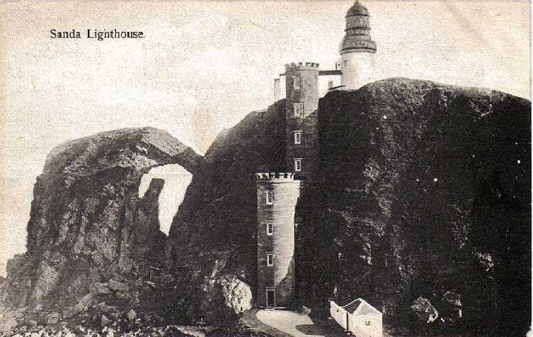
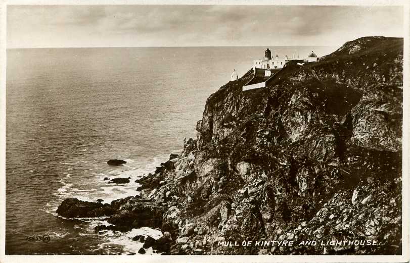
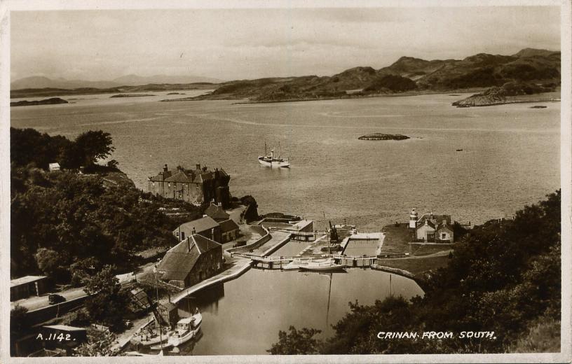
Scotland was divided historically into 34 counties; the counties no longer have any administrative function although they continue to have cultural significance. Most of them survive as lieutenancy areas, the areas used for the ceremonial lord-lieutenants, the monarch's representatives. Since 1996 the country has been divided into 32 council areas for the purposes of local government. This page covers lighthouses of the Argyll and Bute Council Area in western Scotland. The second largest Scottish council area, Argyll and Bute includes the southernmost Inner Hebrides islands plus a large section of the mainland, notably the Kintyre and Cowal peninsulas. This includes nearly all of the historic county of Argyll plus the Isle of Bute from the historic County of Bute and the Helensburgh area of the historic county of Dunbartonshire.
The Northern Lighthouse Board  , established by an act of Parliament in
1786, manages the major lighthouses of Scotland and the Isle of Man. For
five generations, engineers of the Stevenson family created for the Board
a network of elegant and durable lighthouses famous around the world.
Most of these lighthouses remain in service today.
, established by an act of Parliament in
1786, manages the major lighthouses of Scotland and the Isle of Man. For
five generations, engineers of the Stevenson family created for the Board
a network of elegant and durable lighthouses famous around the world.
Most of these lighthouses remain in service today.
Most Scottish lighthouses are accessible by road or hiking trail, but only a few are open for climbing. Travelers in this region, especially the western part, will find Scottish Gaelic in frequent use. The Scottish Gaelic phrase for a lighthouse is taigh solais; eilean is an island, sgeir is a skerry or rock, kyle is a strait, and rubha or àird is a cape or promontory. The word loch is used both for lakes and for inlets of the sea; a firth is a larger bay.
ARLHS numbers are from the ARLHS World List of Lights. Admiralty numbers are from Volume A of the Admiralty List of Lights & Fog Signals. U.S. NGA numbers are from Publication 114.
- General Sources
- Northern Lighthouse Board - Lighthouse Library
- The Board's web site includes information and photos for many of the lighthouses.
- Michael's Comprehensive List of Scottish Lights
- Data and photos posted by Michael Spencer. Section H includes most of the lights on this page.
- UK Lighthouse Tour
- A wonderful blog on U.K. lighthouses written by Sarah Kerr.
- Lighthouse Archives
- Lighthouse information from LighthouseAccommondations.uk.
- Online List of Lights - Scotland - Southwest Coast
- Photos by various photographers posted by Alexander Trabas.
- United Kingdom Lighthouses
- Aerial photos posted by Marinas.com.
- Lighthouses in Argyll and Bute
- Photos available from Wikimedia; many of these photos were first posted on Geograph.org.uk.
- World of Lighthouses - Scotland
- Photos by various photographers available from Lightphotos.net.
- Lighthouses of Mull
- Photos and information posted by the Mull Historical and Archaeological Society.
- Britische Leuchttürme auf historischen Postkarten
- Historic postcard images posted by Klaus Huelse.
- The Stevensons
- The history of Scotland's remarkable family of lighthouse engineers.
- GPSNauticalCharts
- Navigational chart information for this area.
- Google Maps
- Satellite view of Argyll and Bute.

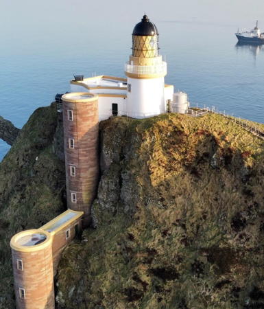
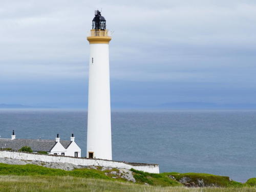
Mull of Kintyre Light, Campbeltown, September 2025
Google Maps photo by HC Creation
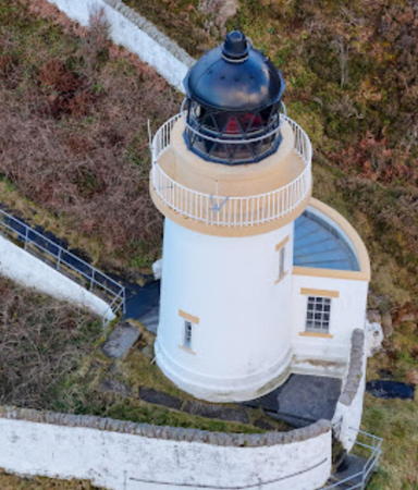
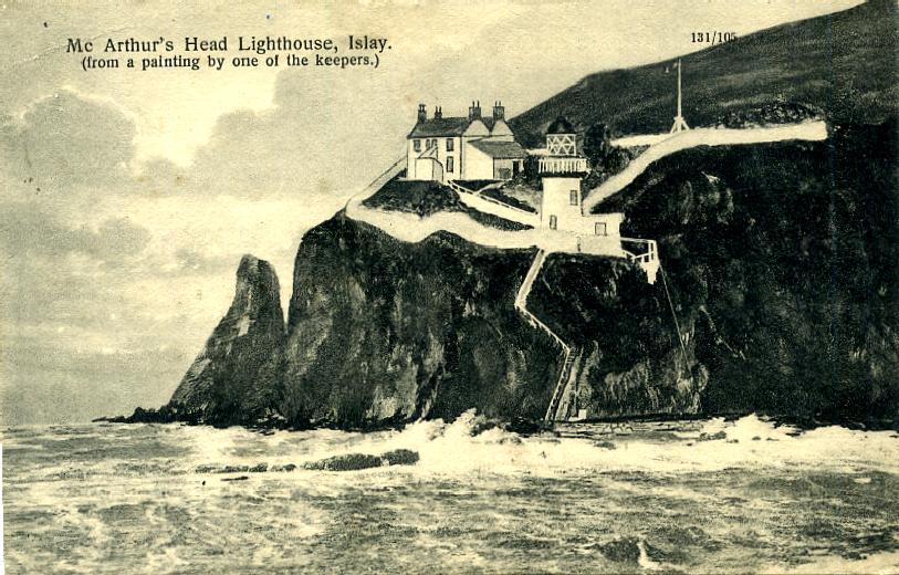
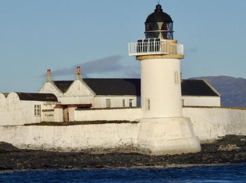
McArthur's Head Light, Islay, November 2023
Google Maps photo by
Martin Beastall







.jpg)