The Commonwealth of The Bahamas is an archipelago of hundreds of islands and cays stretching southeast from Florida and north of Cuba. Settled by the British as early in 1648, the islands became a notorious pirate hangout in the early 1700s. Britain cleaned out the pirates and re-established a colony in 1718. The islands then remained under British sovereignty until they became independent in 1973. At the far southeastern end of the archipelago the Turks and Caicos Islands were separated from The Bahamas in 1874 and remain a British overseas territory today.
All the islands are low and sandy; their beautiful beaches have made them a mecca for vacationers from the U.S. and many other countries. The most heavily developed islands are at the northern end of the archipelago, closest to the U.S. The capital, Nassau, occupies New Providence Island and has more than 70% of the population of the country.
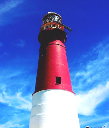
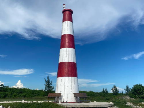
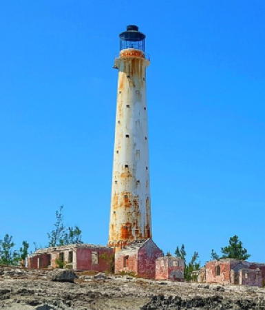
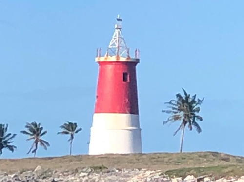
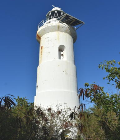
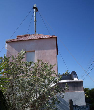
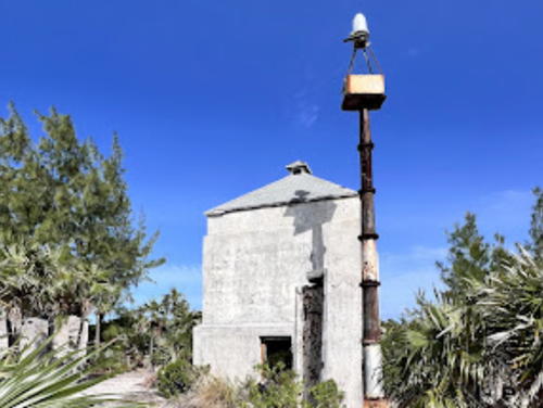
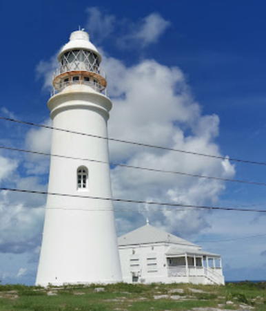
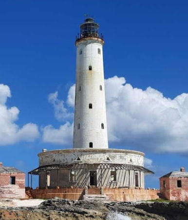
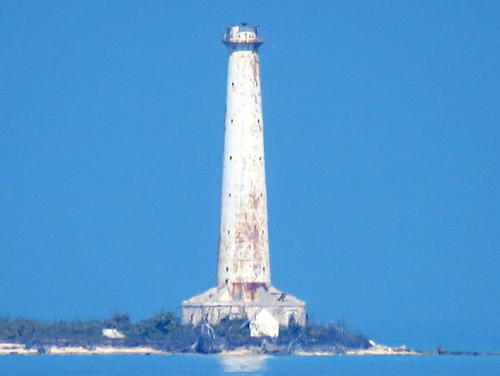
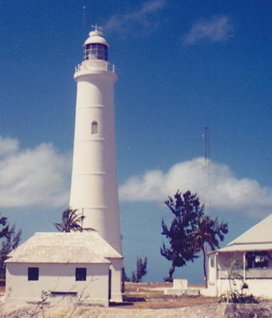
Lighthouse preservation is a matter of considerable concern in the Bahamas. A few of the lighthouses are well-known tourist attractions and seem well maintained, but many others are isolated, rarely visited, and in poor condition.
Aids to navigation in The Bahamas are operated by the Bahamas Port Department.
ARLHS numbers are from the ARLHS World List of Lights. Admiralty numbers are from Volume J of the Admiralty List of Lights & Fog Signals. USCG numbers are from Volume III of the U.S. Coast Guard Light List..U.S. NGA numbers are from Publication 110.
- General Sources
- Online List of Lights - Bahamas
- Photos by various photographers posted by Alexander Trabas.
- Lighthouses in the Bahamas
- Photos by various photographers available from Wikimedia.
- World of Lighthouses - Bahamas
- Photos by various photographers available from Lightphotos.net.
- Bahamas Lighthouses
- Aerial photos posted by Marinas.com.
- Leuchttürme Mittelamerikas und der Karibik auf historischen Postkarten
- Historic postcard views posted by Klaus Huelse.
- World Lights - Bahamas and the West Indies
- Historic postcard views posted by Michel Forand.
- GPSNavigationCharts
- Online navigation charts for the Bahamas.
- Google Maps
- Satellite view of the islands.

Elbow Cay Light, Hopetown, July 2023
Google Maps photo
by We Snap Real Estate
