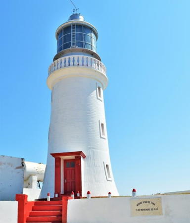
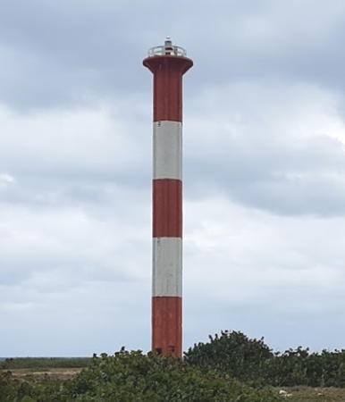
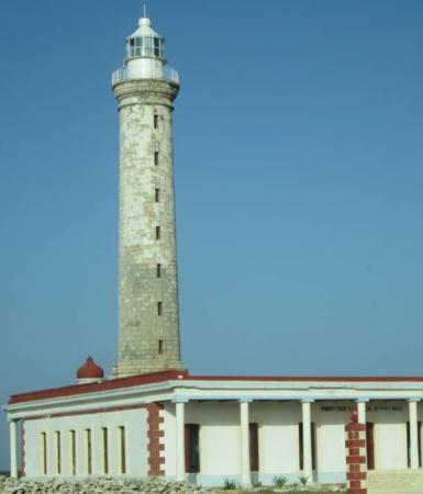
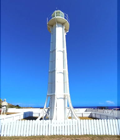
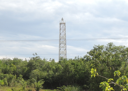
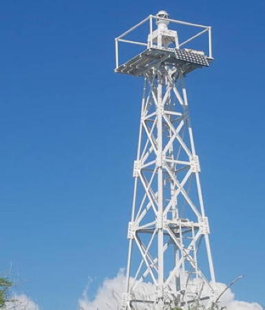
The Republic of Cuba includes the largest island of the West Indies, also called Cuba, located at the northwest corner of the Caribbean Sea across the Florida Strait from the United States. Cuba was a Spanish colony until it was conquered by U.S. forces during the Spanish-American War of 1898. The U.S. occupation ended officially in 1902. Nineteenth century Cuban lighthouses therefore have Spanish designs. At least two surviving lighthouses, Cayo Jutías and Punta de los Colorados, were built under the U.S. occupation.
Cuba is divided into 15 provinces and one special municipality (Isla de la Juventud). 12 of the 15 provinces span the island, having both a north coast and a south coast. This page includes lighthouses of the eastern half of the island from Sancti Spiritus Province eastward. There's another page for Western Cuba. On the north the Old Bahama Channel separates eastern Cuba from the Bahamas and on the east the Windward Passage separates Cuba from Haiti. The southern coast faces the open Caribbean Sea.
Due to longstanding political difficulties between Cuba and the U.S., American tourists had practically no access to these lighthouses for more than 50 years. This is changing now that the two countries have resumed contacts, but it is still true that most of the information available on the Internet has been posted by European or Canadian visitors or by Cuban tourist agencies.
Aids to navigation in Cuba are regulated by the Oficina Nacional Hidrografia y Geodesia and maintained by the Ayuda a la Navegación division of Grupo Empresarial Geocuba. Many Cuban lighthouses are not automated and keepers are on site at most locations. Some of the stations are staffed by civilian keepers but some are tightly restricted military posts. In general the information on the Internet indicates that the major lighthouses, at least, are well maintained. More information is needed on these lighthouses. If you have information or photos you are willing to share, please contact me.
More information is needed on these lighthouses. If you have information or photos you are willing to share, please contact me.
In Spanish the word for a lighthouse is faro, baliza is a beacon, isla is an island, cabo is a cape, punta is a promontory or point of land, péñon is a rock, arrecife is a reef, bahía is a bay, ría is an estuary or inlet, estrecho is a strait, río is a river, and puerto is a port or harbor.
ARLHS numbers are from the ARLHS World List of Lights. CU numbers are from the Cuban light list; it is not available online but many numbers appear in the Admiralty's Notice to Mariners of 2012 Week 45. Admiralty numbers are from Volume J of the Admiralty List of Lights & Fog Signals. U.S. NGA numbers are from Publication 110.
- General sources
- Online List of Lights - Cuba - Northeast Coast and Caribbean Sea
- Photos by various photographers posted by Alexander Trabas. Many photos from the eastern end of Cuba were taken by Capt. Peter Mosselberger ("Capt. Peter").
- Lighthouses in Cuba
- Photos by various photographers available from Wikimedia.
- Leuchttürme in Kuba
- Photos posted by Andreas Köhler.
- World of Lighthouses - Cuba
- Photos by various photographers available from Lightphotos.net.
- Phares d'Amérique
- Photos posted by Alain Guyomard and Robert Carceller on their Phares du Monde web site.
- Leuchttürme Mittelamerikas und der Karibik auf historischen Postkarten
- Historic postcard views posted by Klaus Huelse.
- World Lights - Bahamas and West Indies
- Historic postcard views posted by Michel Forand.
- GPSNauticalCharts
- Navigational chart information for Cuba.
- Google Maps
- Satellite view of eastern Cuba.
